Cyclone Akvan: IMD Forecasts Crossing on the Andhra–Yanam Coast on 20 November

Cyclone Akvan is forecast to cross the Andhra Pradesh and Yanam coasts between Nellore and Tuni around late morning or noon IST on Friday, 20 November 2026. The India Meteorological Department’s early 17 November advisory gives 11:30 a.m. IST as the approximate crossing time. The advisory describes a forecast for a stretch of coastline, and district-level alerts will give readers more specific information as the system approaches.
What the Cyclone Akvan forecast says for Andhra Pradesh
The advisory was issued at 5:30 a.m. IST using observations from 2:30 a.m. IST. At the observation time, Akvan was about 660 kilometres southeast of Machilipatnam and about 670 kilometres south-southeast of Visakhapatnam. It had been nearly stationary during the preceding nine hours. Those distances describe where the centre was overnight. Later bulletins can show where the centre has moved since then.
The IMD expects the system to move north-northwest and strengthen into a severe cyclonic storm around the evening of 17 November. It then forecasts a turn towards the northwest and further strengthening before the projected crossing. The advisory gives sustained winds of 120–130 km/h, with gusts up to 145 km/h, at the forecast crossing. The sustained figure describes a longer measurement interval, while gusts are brief peaks.
How to read the time and location in the bulletin
The forecast uses the wording “between Nellore and Tuni” to describe the section of coast where the centre may cross. Readers checking a particular town should look for the latest district warning and the forecast track, which can be updated as more observations arrive. Rain, wind and rough seas can affect places outside the point where the centre crosses.
The crossing time is approximate. The regional bulletin uses UTC, while local reports often round it to noon. The 06:00 UTC estimate converts to 11:30 a.m. IST on the same day. Hindustan Times’ account of the previous forecast also places the crossing around noon. For planning, use the latest official time window and any earlier instruction from local authorities.
The national bulletin issued at 2:30 a.m. IST gives a longer rainfall window than the crossing forecast alone might suggest. It projects isolated heavy rain in coastal Andhra Pradesh on 18 November and says some places may see heavier rain on 19 and 20 November. It also lists rough to very rough seas off Andhra Pradesh and Yanam on 17 November, with conditions expected to deteriorate. Check the updated warning for your area before setting out, especially if your plans involve beaches, ferries or small craft.
Where to check warnings for travel and fishing
The IMD’s cyclone bulletin archive lists updates by time of publication. The national bulletin carries the Indian coastal alerts, while the regional advisory gives a track and intensity forecast for the wider basin. Check the issue time and the heading when comparing two documents. A track map and a coastal alert answer different questions about the same system.
For local rail or road travel, check the operator and district administration for any service changes. Fisherfolk should follow the IMD’s marine warnings and directions from local authorities before heading out. The IMD sea-area bulletin gives an expiry for its current marine forecast, so check that window before relying on it for a later trip.
If the forecast changes, use the newer bulletin’s issue time to tell which crossing window applies.
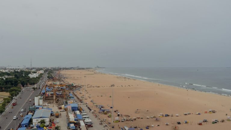
Bootpoot’s 16 November Chennai rain report covered the system while it was still a deep depression. The 17 November advisory puts a name and forecast crossing window on the storm. Those developments make the coast-specific bulletin the relevant document for readers in the forecast crossing area. The cover photograph is illustrative.